
Loop Trail Integration Plan - City of Rock Island
Introduction
This document summarizes a planning-level study with the goal of identifying how the community of Rock Island can connect with the Wenatchee Valley’s greatest amenity, the Apple Capital Loop Trail. The City of Rock Island has identified the need to enhance active transportation opportunities for pedestrians and cyclists. This plan identifies the key areas and routes for active transportation in the study area, with a series of pathways within the Rock Island community and connecting Rock Island to East Wenatchee (both public and private). This plan is intended to be further used by the City of Rock Island, TREAD, Douglas County, and any other recreational or transportation stakeholders to develop design-level trail documents and to plan for future work or grant applications.
Study Area
The study area largely follows SR 28 between East Wenatchee and the eastern city limits of Rock Island. The western end of the study area is located in Hydro Park at the current terminus of the Apple Capital Loop Trail.
Summary of Recommendations
A total of 11.3 miles of proposed non-motorized pathways have been identified as part of this report. These pathways can be implemented individually or in sections to eventually create a looped system that connects residents of Rock Island to their town and to the Apple Capital Loop Trail. A fully integrated non-motorized trail system would also connect residents and visitors of Wenatchee and East Wenatchee to businesses in Rock Island. This system of trails also provides options for the future to expand non-motorized transportation even further to Spanish Castle, Crescent Bar, and Quincy.
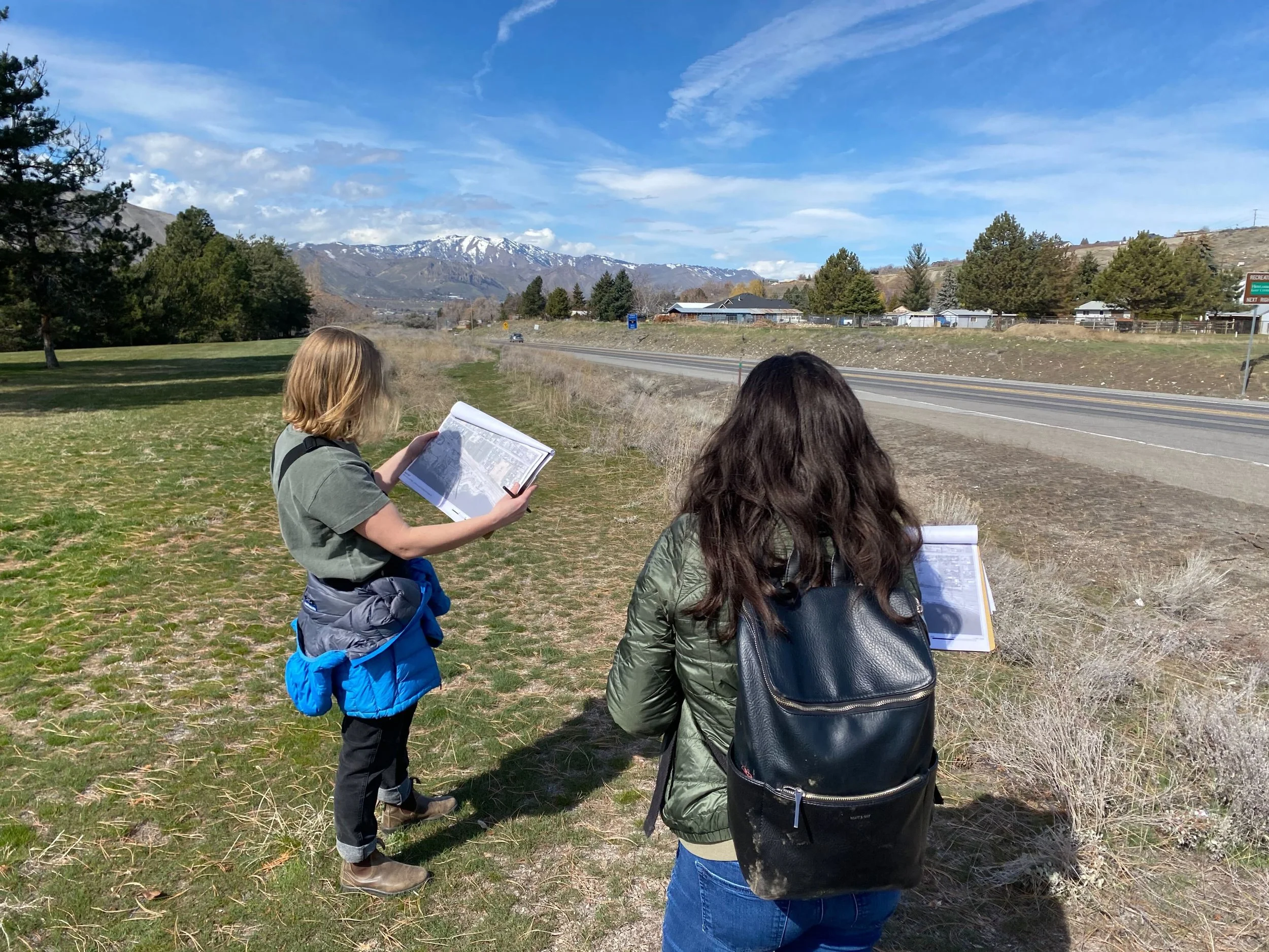
SCJ Alliance visiting project area near the City of Rock Island off of SR28